
Drone Surveying— ONF Surveyors
LAS Drones (Land Air and Sea Drone Surveying, Queensland) is ONF Surveyors’ dedicated aerial surveying arm, specialising in advanced aerial mapping, LiDAR capture and hydrographic survey. Using industry-leading drone technology, we deliver fast, safe and highly detailed data for large-scale developments, infrastructure corridors, waterways, hard-to-access terrain and complex engineering environments.
Drone Surveying for Accuracy
From high-resolution terrain models to precise elevation data and underwater mapping, LAS Drones provides the clarity and confidence our clients need to plan, design and build with accuracy. Our team of drone surveyors use LAS technology to provide specialist surveying for commercial, residential and public infrastructure projects, including:
Drone LiDAR Surveys
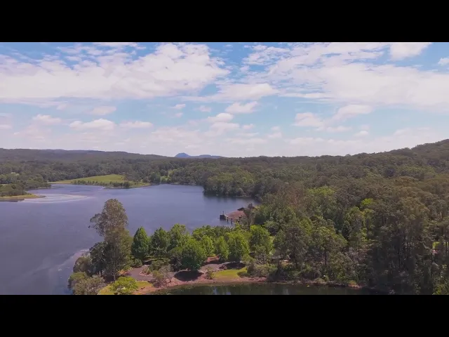
Hydrographic and Bathymetric Surveys
Environment Management and Monitoring
Road, Corridor and Infrastructure Mapping
Drone Environmental Monitoring
Drone Photogrammetric Surveys
Aerial Asset and Infrastructure Inspections
Stockpile and Volumetric Surveys
Erosion Gully Mitigation and Land Use Surveys
Pairing Cutting-Edge Technology with Two Decades of Expertise
Your drone surveying project is only as accurate as the team managing it. As a leader in precise, trusted surveying in Queensland, ONF Surveyors provides an expert team, including an in-house Cadastral Surveyor, to deliver excellence in surveying accuracy. We’ll manage your project from start to finish, with a dedicated team of specialists, ensuring a reliable and trusted result. It’s surveying from a new perspective — backed by ONF’s trusted expertise. Elevated insight. Grounded accuracy. Drone Surveying you can trust.


