Land Development

Initial Contour and detail survey
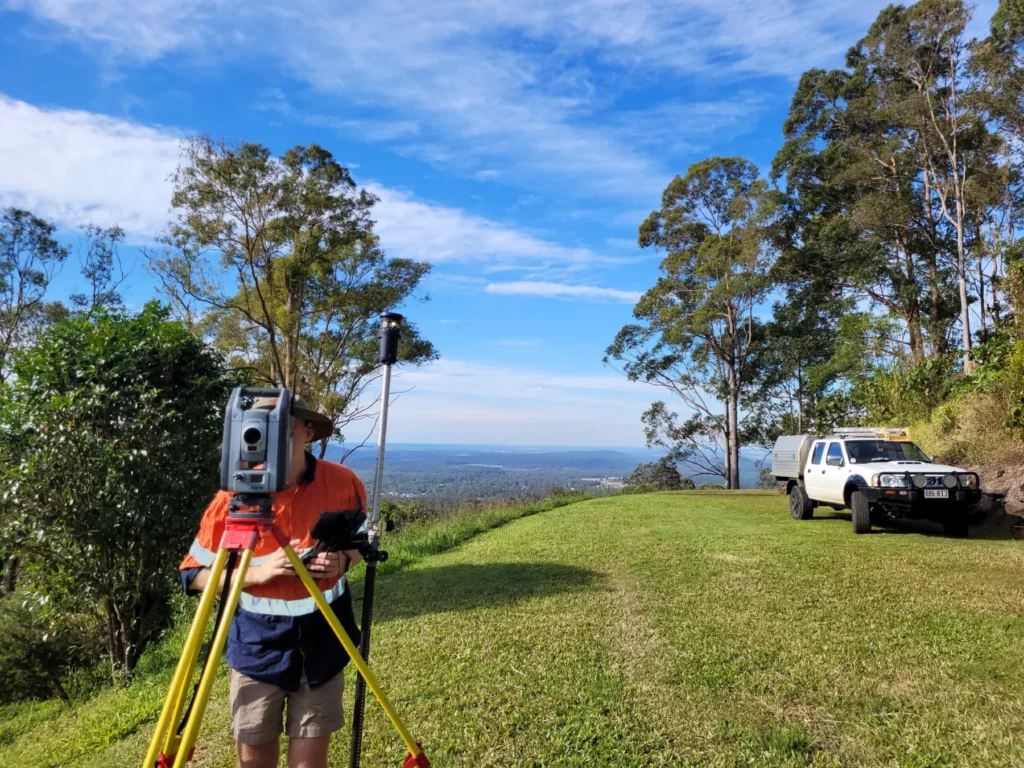
The contour and detail survey serves the purpose of revealing the current topographical characteristics of a specific site.
Predevelopment Proposal Plans
Predevelopment Proposal Plans are initial project outlines created at the start of a construction or development project.
Subdivision Survey
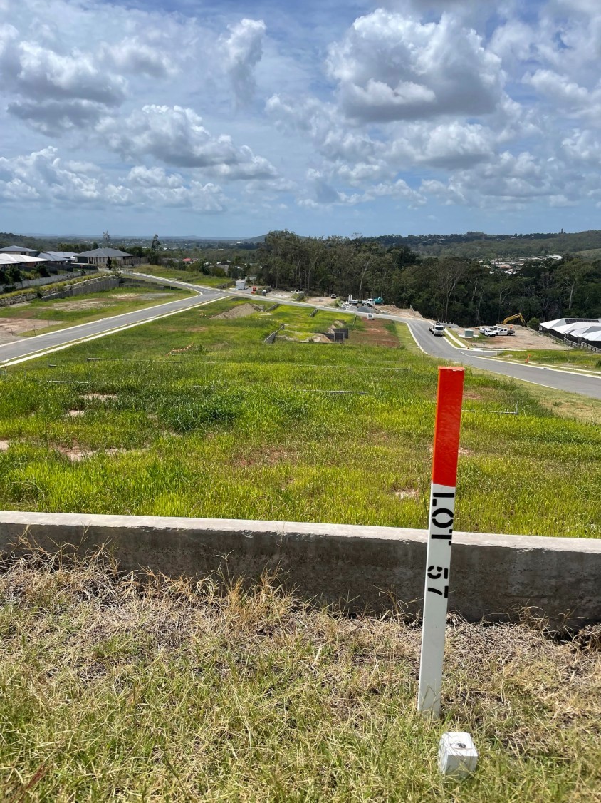
Subdivision Surveys divide a large piece of land into smaller lots, providing accurate measurements and boundaries required for development and legal documentation.
Easements, Covenant Surveys
Easements and Covenant Surveys are land surveys that assess and document property rights and restrictions, including access rights and land-use agreements.
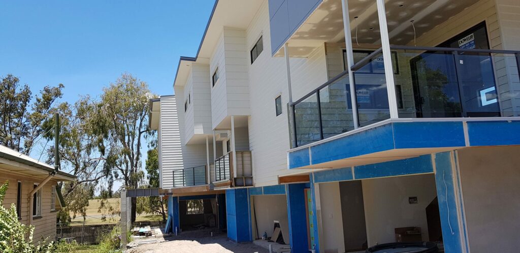
Community Living Strata Titlting
Community Living Strata Titling divides multi-unit residential properties into individual ownership units.
Civil Construction Survey
A Civil Construction Survey is a survey conducted during infrastructure projects to ensure compliance with design, safety, and regulations.
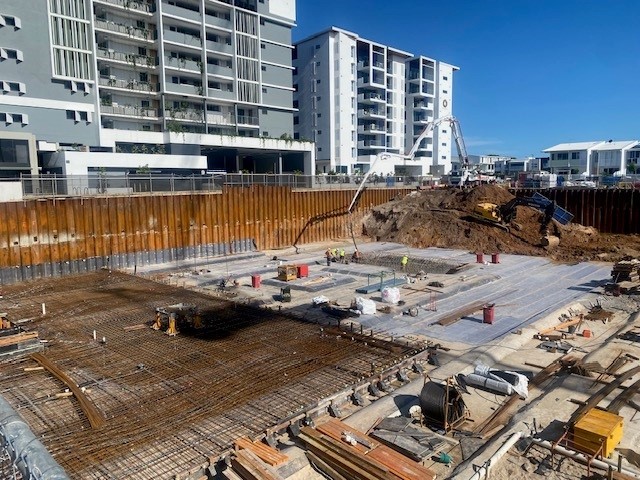
As-constructed Survey
An As-Constructed Survey verifies and documents the actual position and attributes of completed construction, ensuring it matches approved plans and meets regulations.
ADAC
ADAC is Asset Design As Constructed. ADAC provides a standard specification for describing asset design and as constructed data
Plan Sealing
Plan sealing marks the final step in the land subdivision or development approval process. It’s the stage where your final plans are officially approved by the local council, confirming that all conditions and regulations have been met. ONF Surveyors streamlines this process by coordinating with experienced plan sealing specialists across all SEQ Metro areas, ensuring your project progresses efficiently to final approval and registration.
Plan Registration
Plan Registration is the formal recording of land documents with the government to establish legal rights and ownership, ensuring transparency in property transactions and development through Titles QLD.